TIDES OF CHANGE: Shifting Sands
- John Wolfe
- May 11
- 7 min read
“Always the edge of the sea remains an elusive and indefinable boundary.” – Rachel Carson

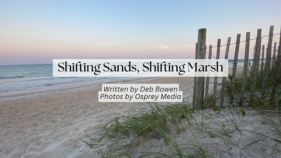
Masonboro Island: one of the last bastions of wilderness in our overcrowded city's backyard. The edge of the American continent—beyond it, nothing but blue water rolling all the way to Africa. A place where you can stand and look directly into the past, see what the coast was like before we built it up. A land of hurricane and riptide, rainbow and thunderstorm, beautiful and sublime, where the face of eternity is carved into the sand blowing across the beach. A place of sculpted live oak forests, winding tidal creeks bursting with oyster beds and stalking herons, powdered beaches pocked with starfish and sand dollar and sea turtle nests, shimmering sea oats and dancing black skimmers. A wild place.
I have come to this 8.5-mile barrier island south of Wrightsville Beach to see how climate change is already affecting our coast and to try and read the tea leaves about what to expect in the coming years. My guide is Dr. Byron Toothman, a coastal research biologist in the Southern Sites office of the NC Coastal Reserve and National Estuarine Research Reserve (NERR). Sandy-haired and freckled, he expertly pilots the our skiff through a creek on the island’s north end. He and his colleagues monitor the environment here at Masonboro, and at Zeke’s Island south of Fort Fisher, by using several high-tech probes called sondes; these collect water quality data every 15 minutes, 365 days a year. This data goes into a public database that other scientists and the public can use. There are 30 other NERR sites across the United States all doing the same thing. Byron has watched this island closely for nearly two decades.
Masonboro, like all barrier islands, is the first line of defense for our coastal living space, he tells me. When hurricanes encounter the Carolina coast, their oceanic effects are felt on these islands first, and they take the brunt of the impact before the storms’ energy can reach homes and docks further inland. Masonboro comprises most of the unbuilt coastline in New Hanover County, making it a safe space for wildlife, particularly species of special concern like sea turtles, diamondback terrapins, and shorebirds, which use the island for feeding and nesting. Behind the sands of the island itself is an intricate network of salt marshes and tidal creeks, an incredibly productive and important habitat for many reasons.
According to “Drawdown,” a book I reference often in this series, wetlands like the salt marsh behind Masonboro sequester huge amounts of carbon relative to their land area. Coastal wetlands can store as much as five times as much carbon as tropical forests; the journal “Nature” tells us that “some 2.4–4.6 percent of the world’s carbon emissions are captured and sequestered by living organisms in the oceans, and the UN estimates that at least half that sequestration takes place in wetlands.A doctoral candidate at the Reserve, Margaret Davidson fellow Mina Suprenant, is actually looking into how this particular marsh fixes carbon, doing research far more complicated than I have room to explain here. In simple terms: protecting our salt marsh is an important part of combating climate change. Unfortunately, the demands on the ecosystem have never been higher. As sea level rises, the marsh must migrate to higher ground as well. But humans have built barriers to that migration in the form of docks and piers, seawalls and jetties, houses and parking lots.
We wind our way southward down the Intracoastal, and I’m struck by the difference between sides of the waterway. To my left, Masonboro—entirely natural, the way it has always been. To my right, Wilmington—houses and docks consume the entire horizon. There are very few places where trees prevail, and far fewer than there were when Byron first started working here. Every house that is built here marks a spot where the forest was clear cut and burned, and where paved surfaces like driveways, patios, and streets now pour pollution-filled runoff into the waters around the island. Drains lead to the ocean, as it says on every manhole.
Taking an offshoot through John’s Creek (no relation), we motor through the shallows until we get to the back of the island itself. Where we land is one of the skinniest spots on the whole island. After anchoring the boat, we walk over to the ocean side from the sound side, and we don’t have far to go.
You could throw a Frisbee from one side of the island to the other. This narrow stretch of beach and dune is a spot where Byron and his colleagues have observed overwash in the past, during storm events when the surge adds to the already high tide. Someday, perhaps sooner than we think, this sand could break and become another inlet, then we’d have two islands where Masonboro is now. That kind of transformation is to be expected—the nature of these islands is to change and shift in response to natural forces. Masonboro’s very impermanence is the reason it is still here. The transient nature of barrier islands only becomes a problem when you build houses on them, like we have on nearly every other barrier island in our region. The natural forces that shape these sandy places are changing faster than they ever have before. When I ask him if he’s observed sea level rise, Byron tells me yes, of course. And, more importantly, “The rate of increase is increasing.”

We see more evidence of sea level rise when we bring the skiff back to the dock at UNCW’s Center for Marine Science. Walking back up, we pause to appreciate the ecotone, or transitional space, between salt marsh and maritime forest, which is home to deer and raccoon, heron and woodpecker. Byron has been walking this path for nearly 20 years, and has noticed the forest nearest the edge thinning, the canopy disappearing, more and more sunlight reaching the path at our feet as the trees die off. It’s an emerging ghost forest, joining the growing ranks in the Lower Cape Fear. The trees incline, drunkenly, as they succumb to the ground’s increasing salinity. Once proud pines lean heavily on their neighbors, their needles a sickly brown, their taproots unable to support the trees’ weight in the assaulted soil. “Look at that,” Byron says, pointing to one shriveled silver shape near the water’s edge. “It was a cedar. Now it’s a tombstone.”
Every plant has a niche in this ecotone, a spot they are fittest to occupy as the ground rises out of the sea. The plants naturally align themselves in strata according to how much salt they can handle—the Spartina alterniflora, or saltmarsh cordgrass, for instance, can withstand full submersion, one reason it is dominant in the lower marsh. Moving inland and upwards in elevation, the cordgrass is out-competed by Salicornia virginica, or pickleweed, an edible plant which can take some salt, but not as much as Spartina. Even further in and up, the species richness grows, and here live the trees, which don’t like salt at all. Witnessing the forest’s edge fall, as if razed by some invisible bulldozer, tells us that those trees, which have clearly been here a long time, are now being exposed to more salt than they can handle. It’s the most visible sign of the effects of sea level rise I’ve yet seen, and it breaks my heart a little. The world is changing faster than these trees can keep up. And when they die, the carbon they store will be released back into the atmosphere, where it will contribute to further warming.
Byron explains that this kind of warming upon warming is an example of a concept called a “positive feedback loop”: an effect of an initial catalyst causes compounding effects, sending the environment careening further and further from equilibrium like the proverbial snowball pushed down a hill. Another example can be seen when sea level rises and salt water inundates a new area; the sulfur salts found in the seawater allow anaerobic microbes in the soil to proliferate, and those microbes eat organic matter like peat and old plant debris, which can cause the soil to compact and drop. So not only does the sea level rise, but the land sinks. And to add insult to injury, those microbes exhale—you guessed it—more carbon dioxide, which fuels the process that caused the sea level to rise in the first place.
“It’s a self-reinforcing process,” says Byron. That’s why the Intergovernmental Panel on Climate Change (IPCC) has set the goals to stop warming at the levels they have: to avoid the compounding effects.
“They are sensitive accountants of every process they can find,” he says, telling me how the IPCC has looked back through geological historical conditions to make predictions about the future. “They are fastidious, and make conservative estimates of outcomes so as not to overstate situations.”
So when they say we need to keep warming below 2ºC above pre-industrial levels, that’s why.
Just a reminder: we’re at 1.4ºC and rising fast.
Barrier islands like Masonboro only continue to exist because they are flexible and mobile, moving when they need to, building up and retreating as the winds and currents demand. These islands used to be further out to sea, but have rolled back over themselves over thousands of years. The evidence is on the beach: pick up a shell and chances are good it’s an oyster shell, even though oysters only grow in the sound on the back side of the island. Where the beach is now, the sound was in the past, which implies that where the sound is now, the beach will be in the future—and perhaps sooner than we expect.
I wonder if humanity can be flexible, too, and make the changes we need to make in order to survive. Or, like those poor pines, are we rooted too deeply in our patterns of consumption to adapt in real time, shackled by rigid oil pipelines and frozen in the hard structures of our cities? I think about how the current administration just gave a French company TotalEnergies $1 billion of taxpayer money to cancel their lease for an offshore wind farm off the Brunswick County coast, which would have powered Wilmington and beyond with clean energy; TotalEnergies is now investing instead in natural gas infrastructure in Texas.
It feels like our country is a dope-sick heroin addict, refusing help for another hit of black tar. Again and again we see evidence that our addiction to oil is killing us and the only planet we have, costing us more every day. What’s it going to take to break free?